http://www.enplan.com/fires/
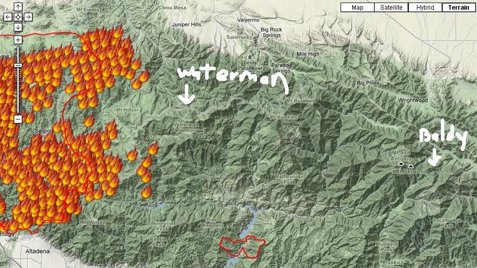
This looks like a good map to follow the Station Fire progress. If you go directly south from the label "Juniper Hills" on the map, Mt. Waterman is about where you hit Angeles Crest Hwy #2. They are definitely defending Mt. Wilson because of the extensive radio/TV and observatory facilities there. But the fire is moving east on the highway north of Mt. Wilson.
The San Gabriel Mts in the current burn area top out at about 6,000 feet. Mt. Waterman is the first peak moving east where altitude jumps up to 8,000, no doubt the reason the ski area was built there. Not sure whether that makes any difference in trying to keep the fire out of the higher mountains.
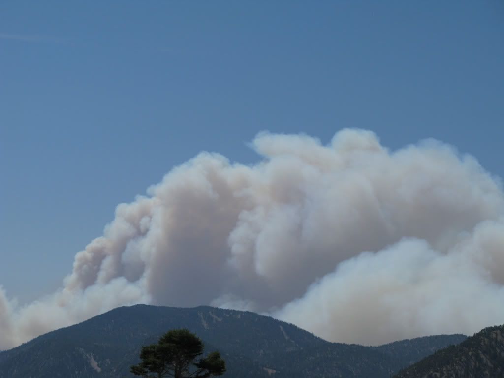
There has been very little wind with this fire; it's just been very hot, 100F+ with ~10% humidity since last Thursday. Today is the first day that the smoke is widespread over the L.A. Basin. Mostly it's hung above the fire or drifted west over the San Fernando Valley some.
With regard to mudslide road closures I recall lengthy closures during the very wet 1977-78 season. There was no access to Mt. Waterman at all for ~6 weeks after a mid-February mudslide. When I finally got up there on April 8, the direct access from La Canada was still blocked; I had to get there via the Little Tujunga road above Sunland. Those same February storms impeded access to the San Bernardino resorts. The road between Big Bear and Snow Valley was down for a few weeks, and when I went to Snow Valley in March I had to use route 18 to Crestline rather than the more direct 330 to Running Springs which was also blocked.
Mt. Baldy is quite a distance from this fire, closer to the much smaller Morris fire which is mostly contained now. A few years back a summer brush fire did get up the backside of Thunder Mt. but did not damage any facilities. In March 1985 the lodge at Baldy Notch burned and had to be rebuilt.

