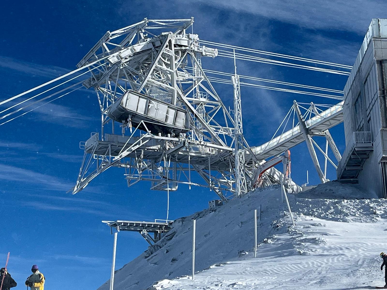
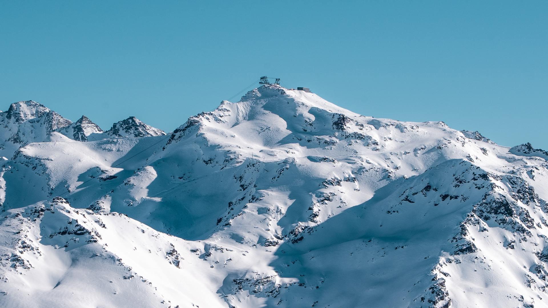
Fraser's weekly report from yesterday on
Weather To Ski:
Friday 22 November 2024
Welcome to our first full snow report of the 2024-25 ski season, which starts with some good news for the Alps, some regions having seen a lot of snow this week, most of which has fallen in the north-western half – i.e. most of the French Alps (away from the far south), most of the Swiss Alps, the far western Italian Alps (e.g. La Thuile) and the far western Austrian Alps (e.g. Lech). Most of these regions have seen close to or more than 1m of new snow at altitude since Monday, with a little less in the Austrian Arlberg, and a little more in parts of the northern French and western Swiss Alps.
The rest of the Alps have also seen some snow although snowfall totals have been modest across most of Austria, the far southern French Alps, parts of southern Switzerland (notably Ticino) and the eastern Italian Alps (Dolomites). That said, the colder weather has allowed snow making to operate at full throttle, meaning that areas such as the Dolomites should, as usual, be able to open most of their pistes over the next two to three weeks.
The bad news for the Alps is that it is going to get much warmer over the weekend as a strong south-westerly airflow takes hold. This will create Foehn conditions across the northern Alps which will quickly melt most of the lower-lying snow, especially close to the foothills. This warmer weather shouldn’t last too long though, with another drop in temperature (though probably not much snow) likely later next week.
Whatever the case, we should emphasise that although this week’s storms have pretty much guaranteed a good start to the season for several high Alpine ski resorts (especially in the north-western Alps), it is still too early to be getting excited about the prospects for this winter’s ski season in most Alpine ski areas.
Across the pond the most impressive early season snow conditions are to be found in the Pacific North-west.
Austria
In the Austrian Alps, the heaviest of the snow from this week’s storms has fallen in the far western Vorarlberg, in resorts such as
Lech and
Warth-Schröcken, which aren’t due to open for a couple of weeks. Further east, snowfalls have generally been more modest but have still provided useful top-ups for the handful of resorts already open. Most of these are on glacier areas like
Hintertux (50/85cm), however
Sölden (5/130cm) and
Obergurgl (30/70cm) are both offering non-glacial terrain and should be offering some decent piste-skiing once the weather settles down this weekend.
Temperatures will turn much milder next week with
Foehn conditions melting any low-lying snow, especially across the central and northern Austrian Alps.
Lech is one of the Austrian ski resorts that has seen a lot of snow this week, although it’s not scheduled to open until 6 December
France
There has been a lot of fresh snow in the French Alps this week, with well over 1m at altitude in the Tarentaise where
Tignes now has settled snow depths of 35/100cm and should be able to offer some excellent conditions for its opening day tomorrow (Saturday).
Another French ski resort that has seen significant snowfall and will be in good conditions when it opens tomorrow is
Val Thorens (45/60cm). Note, though, that in both cases the new snow has been very windblown and that off-piste conditions remain sketchy for now.
Over the weekend and into next week, the French Alps can expect much milder conditions. This shouldn’t have too much of an adverse effect on Val Thorens and Tignes, though much of the lower-lying snow will melt again in resorts that are not scheduled to open for a while.
Heavy snow has fallen this week in Tignes, which opens tomorrow (Saturday)
Italy
In the Italian Alps, it is the western ski resorts that have seen the most snow from the recent storms. Here, one of the few Italian ski resorts currently open,
Cervinia (60/150cm) should be offering some great skiing with more and more terrain opening once authorities have had a chance to assess the slopes. Further east, there has been less snow, but this week’s colder temperatures have allowed snowmaking to operate at full throttle, which is great news for the resorts in the Dolomites, many of which will start opening over the next week or two.
Looking wintry in Kronplatz in the Dolomites, where snowmaking has been operating at full throttle in recent days
Switzerland
Most of the Swiss Alps have seen significant new snow this week which is great news for the handful of resorts already open, and others that plan to open soon.
Zermatt (20/270cm) is already offering good skiing and should be excellent shape this weekend following the last few days’ heavy snowfalls.
Verbier (45/70cm) has also done well and is currently opening more and more pistes.
This weekend and into next week the weather will turn much milder in the Swiss Alps, which will melt much of the lower-lying snow, especially in the northern Alps where conditions will be exacerbated by the Foehn.
It’s still snowing in Engelberg today where conditions should be excellent once the weather settles down
USA
Early season snow conditions are generally good in the western US, and most impressive in the Pacific north-west where
Mount Baker already boasts a 220cm upper base and has more snow in the forecast this weekend.
Heavy snow is also forecast for California over the next few days which should help expand the available terrain in
Mammoth (70cm upper base).
Over in Colorado,
Breckenridge is one of many resorts now open (albeit partially) with a 50cm upper base and some heavy snow also forecast next week.
Early season snow conditions are excellent in Mount Baker – 22 November 2024
Canada
In Canada,
Whistler (126cm mid-mountain base) is enjoying an excellent start to the season thanks to multiple snowfalls in recent weeks and nearly 1m up top in the last seven days alone. Further inland, snow depths are much more modest in the
Banff-Lake Louise area but here too you can find some decent piste-skiing, with 30cm of new snow in the last week and a 60cm upper base.


